
Local Challenges and Conditions
Planning for Magnolia Site Conditions
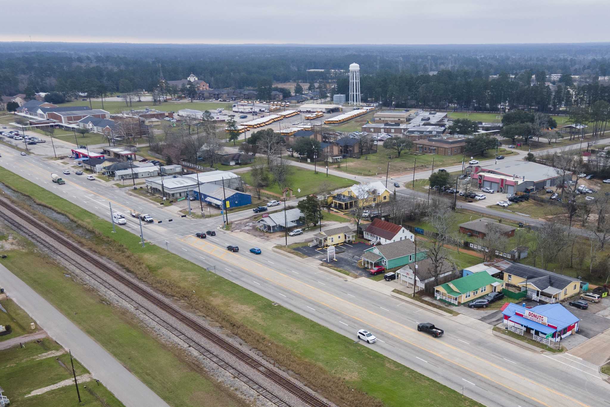
Magnolia's position in the Cypress Creek headwaters makes it a contributing area to the downstream flooding Harris County residents experience. The Texas Water Development Board's regional watershed studies for the Cypress Creek basin have consistently identified upstream development as a factor in peak-flow acceleration downstream. That framing changes how we think about turf drainage for Magnolia properties: a well-drained turf system on a Magnolia property contributes to the same runoff flow that reaches Cypress Creek Lakes and Fairfield neighborhoods downstream during a major storm event. We size Magnolia drainage specifications to match the downstream watershed's capacity expectations, not just the immediate outlet condition at the property boundary. This approach produces systems that operate within the Cypress Creek watershed's hydrological context rather than creating localized drainage that pushes excess flow into the tributary network faster than the channel can handle it.